


Above Everywhere are licensed & insured aerial video & photography specialists. Utilising remote-controlled quadcopters / multi-rotor UAVs / drones.
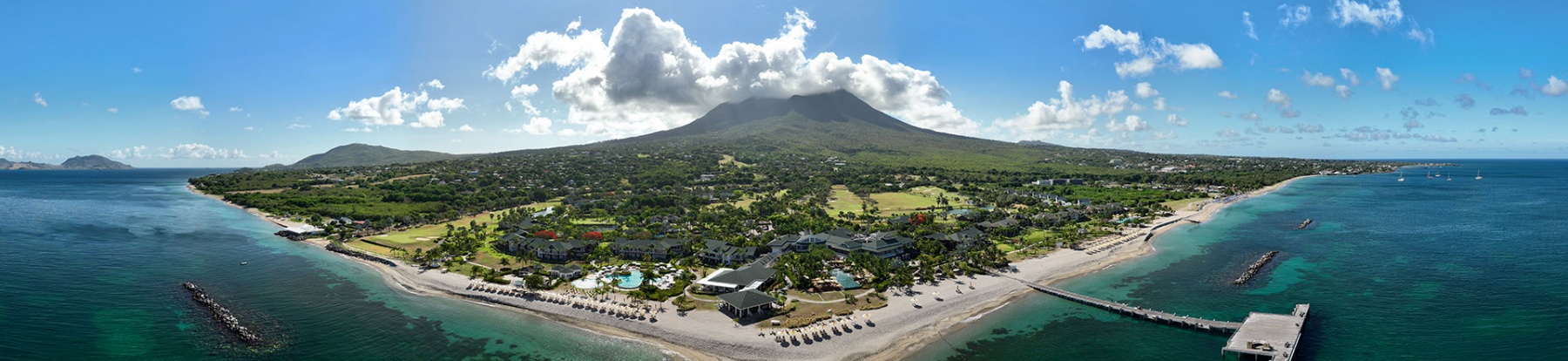
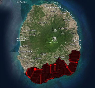
Above Everywhere were tasked with mapping and cataloguing over 2,000 acres of land in Nevis.
With permissions approved, the assignement took our team a week to gather over 500Gb of assets. These included -
- 4K high-defineition videos of the area.
- Detailed photogrammetry maps.
- 360 photography.
Maps and assets were compiled and supplied to work with Google Maps and sample overlay telemetry video files given to the client.
See our stock portfolio of video and stills on Getty and iStock
Above Everywhere are a registered, licensed and insured operator of UAV/drones in Barbados, the Caribbean region and worldwide.
Contact us on +44 (0)7570 35 40 45 or info@aboveeverywhere.com to discuss any aerial needs you have!